Projects
Earth and climate
GHG Inventory for Land Use, Land-Use Change and Forestry
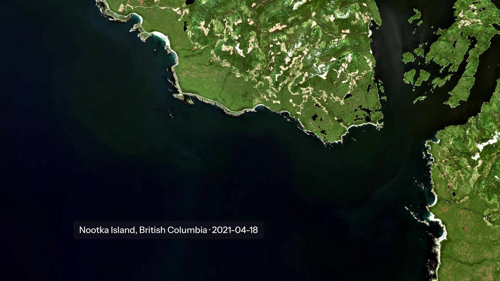
Land-cover segmentation from Landsat imagery for a Tier-3 greenhouse gas inventory.
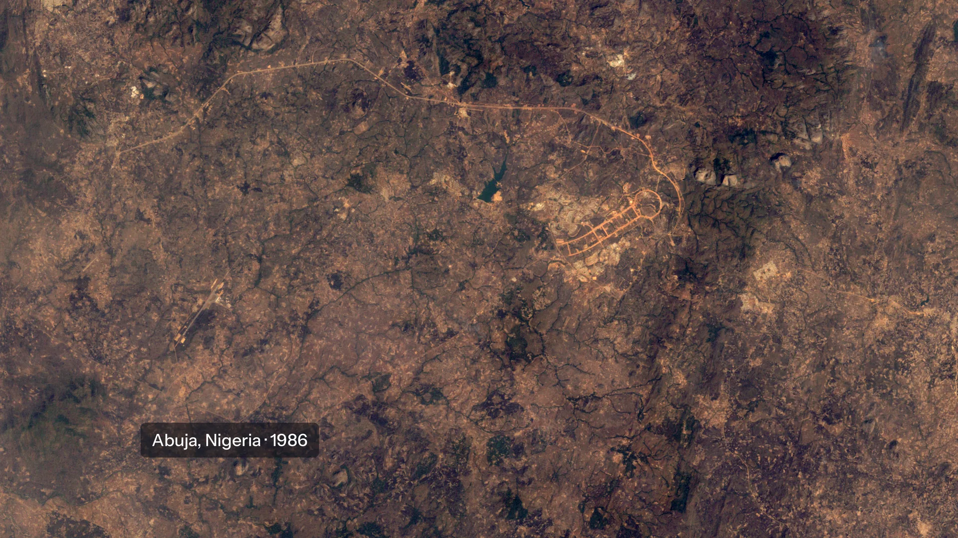
Landsat true-colour time-lapse of Abuja, Nigeria, in the dry season, 1986 to 2025, showing the city spreading over farmland and savanna. Landsat imagery courtesy of the U.S. Geological Survey. Public domain. Source (opens in a new tab)
Overview
Land-cover segmentation from Landsat imagery, producing the consistent land representation needed for a Tier-3 greenhouse gas inventory for land use and forestry.